Drug baggies: ‘Markers of an addiction made public’
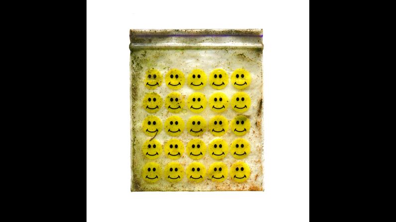
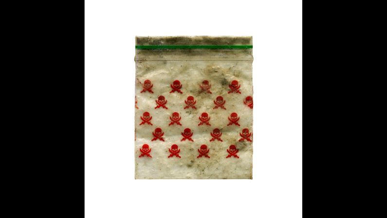
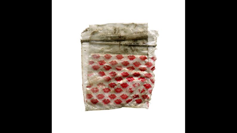
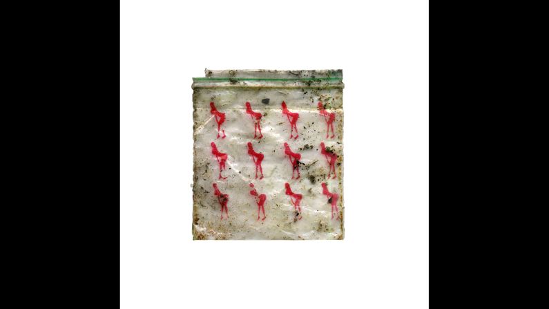
Dan Giannopoulos has been photographing discarded drug bags in London since 2013. He plots the exact location of each one on a map in an attempt to chart patterns of drug use across the city. He focuses on areas close to where he lives, on the outskirts of London and South East London. This baggie was found in Charlton Park (51.479756, 0.043566).
Dan Giannopoulos
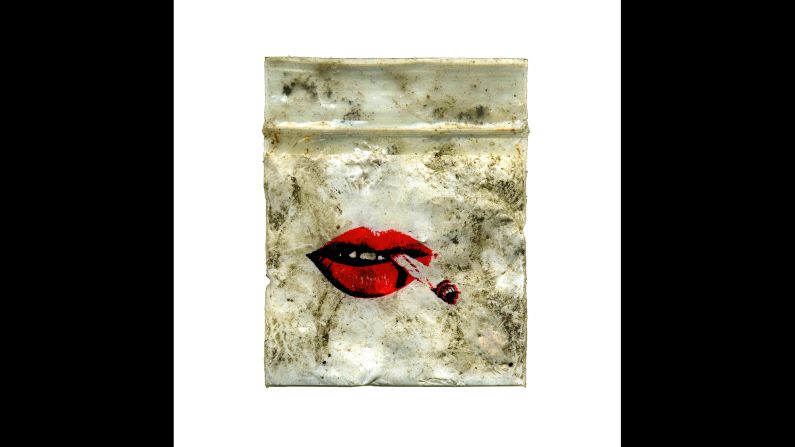
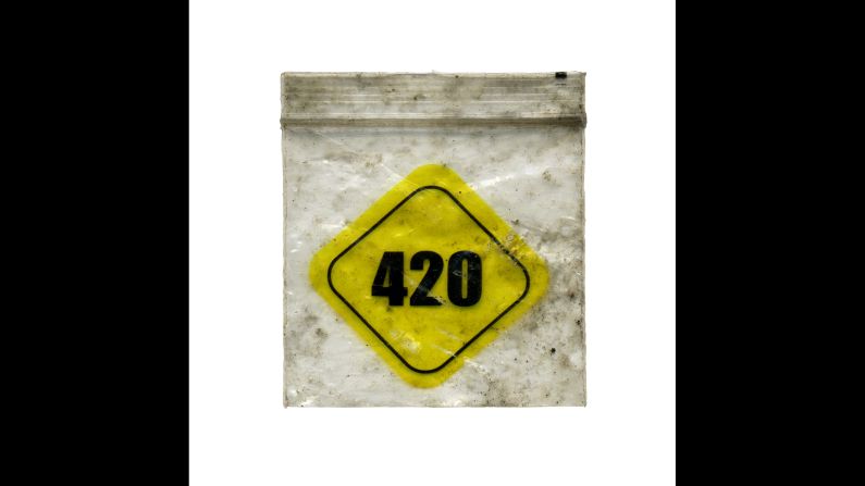
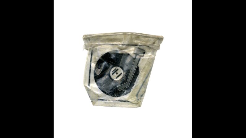
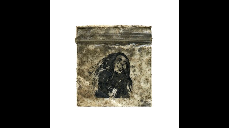
Creton Street, Woolwich (51.492240, 0.065682)
Dan Giannopoulos
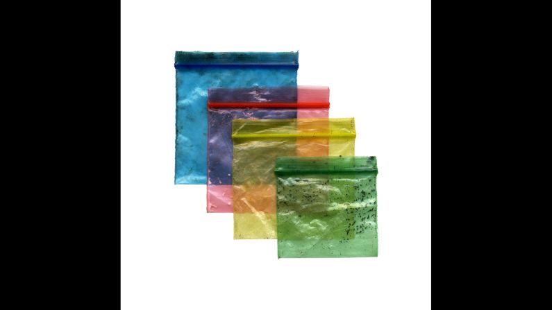
Blue: Sun In The Sands Roundabout (51.474864, 0.024213); Red: Heathway, Blackheath Standard (51.476314, 0.018183); Yellow: Trafalgar Tavern, Greenwich (51.484530, -0.004108); Green: Maze Hill, Greenwich (51.482201, 0.001911)
Dan Giannopoulos
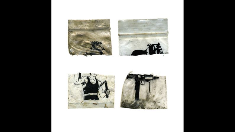
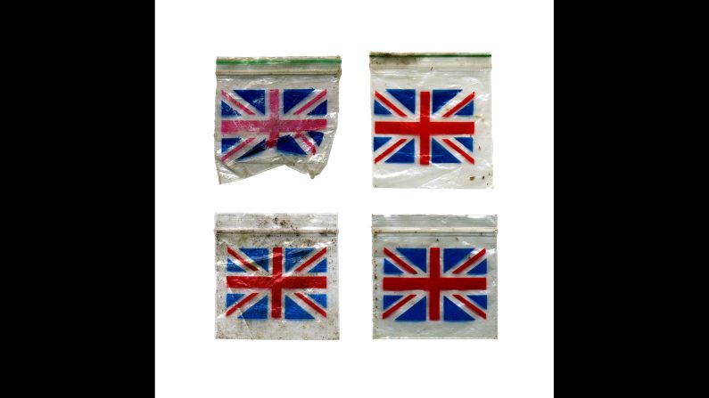
Top left to bottom right: Crescent Road, Woolwich (51.486534, 0.069154); Nuxley Village, Belvedere (51.480285, 0.143797); Broadwater Green, Plumstead (51.492860, 0.084432); Nathan Way, Plumstead (51.494322, 0.095901)
Dan Giannopoulos
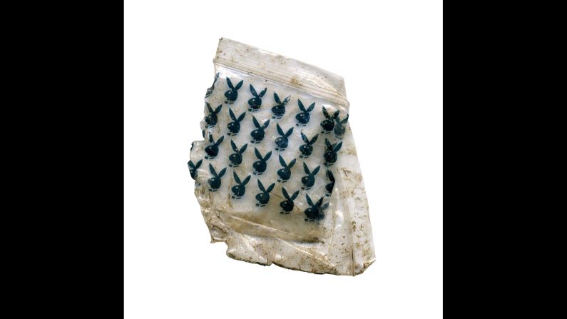
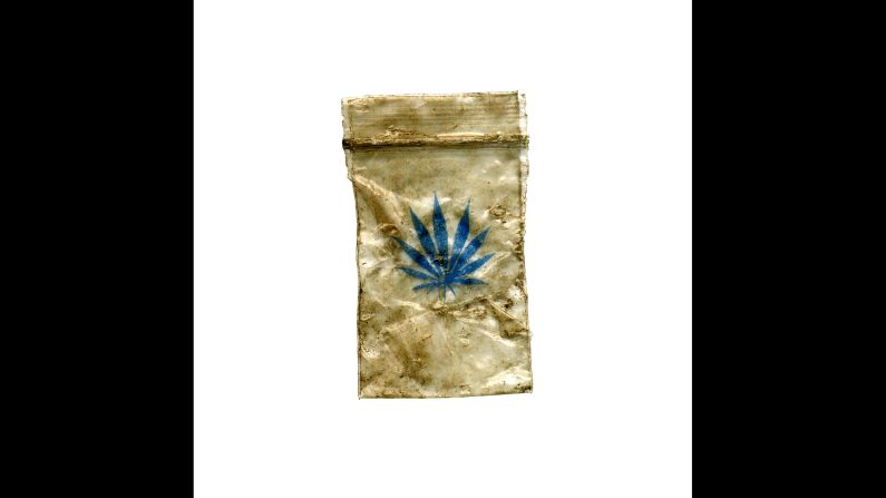
Thames Path, North Greenwich (51.494525, 0.020964)
Dan Giannopoulos
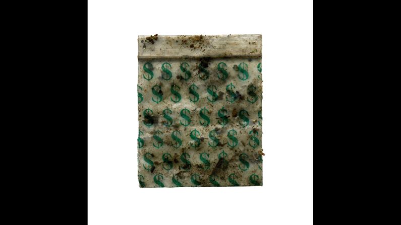
Lee Road, Blackheath (51.463356, 0.009463)
Dan Giannopoulos
Thames Path, Erith (51.486964, 0.174088)
Dan Giannopoulos
Top left to bottom right: Thames Path Promenade, Thamesmead (51.511071, 0.118307); Upper Park Road, Belvedere (51.487435, 0.152246); Plumstead Bus Garage (51.491122, 0.081558); Thames Path, Erith (51.484775, 0.178895)
Dan Giannopoulos
Birchmere Park, Thamsmead (51.501795, 0.115862)
Dan Giannopoulos
Blackheath Common (51.471528, 0.011691)
Dan Giannopoulos
Thames Path, Thamesmead (51.512766, 0.129561)
Dan Giannopoulos
St. John's Park, Blackheath Standard (51.475246, 0.013932)
Dan Giannopoulos
Top left to bottom right: Blackheath Common (51.479641, 0.031328); Old Dover Road, Blackheath (51.475771, 0.027851); Broadwater Green, Plumstead (51.493783, 0.084336); Rochester Way, Kidbrooke (51.469437, 0.027539)