Your effort and contribution in providing this feedback is much
appreciated.
Close
Ad Feedback
Ad Feedback
Mci planet labs doves
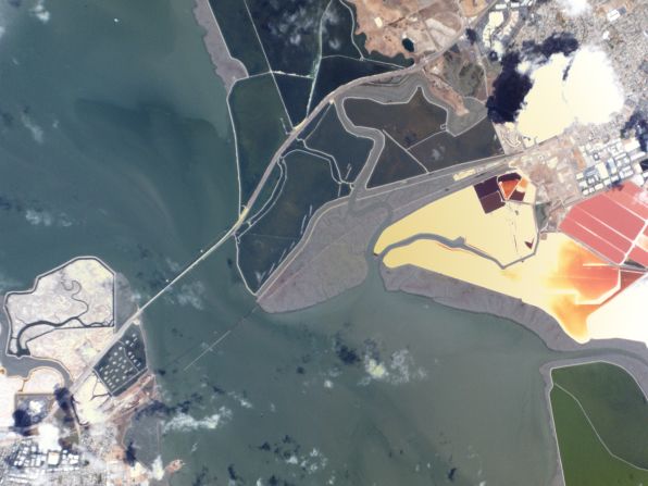
An image of the San Francisco Bay Area captured by one of the Doves satellites from Planet Labs. It is the world's largest constellation of imaging satellites, but each individual one is no larger than a shoe box.
courtesy planet labs
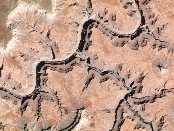
A view of the Grand Canyon, in Arizona.
courtesy planet labs
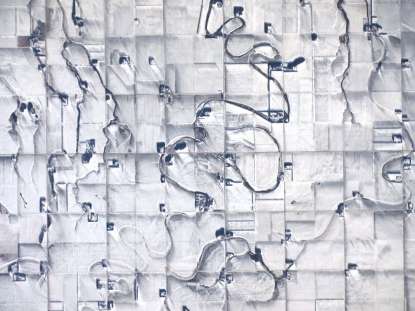
Snow-covered fields and creeks in Portage la Prairie, Manitoba, Canada.
courtesy planet labs
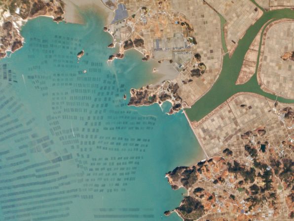
Aquaculture in the small town of Hanjia-Ri, South Korea.
courtesy planet labs
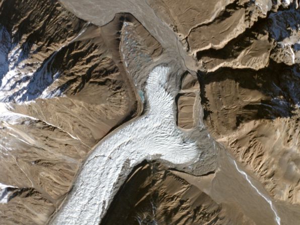
The Yazghil glacier, in Pakistan.
courtesy planet labs
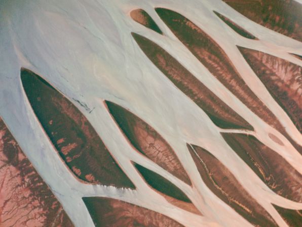
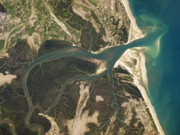
The Betsiboka river and Bombetoka Bay, Madagascar.
courtesy planet labs
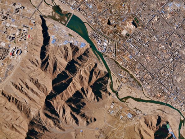
The Tibetan city of Lhasa.
courtesy planet labs
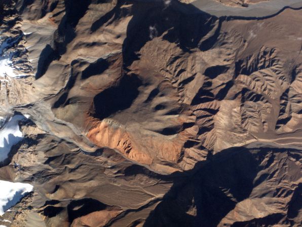
The Nan Shan mountains of China.
courtesy planet labs
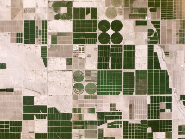
Irrigated fields in Pinal County, Arizona.
courtesy planet labs
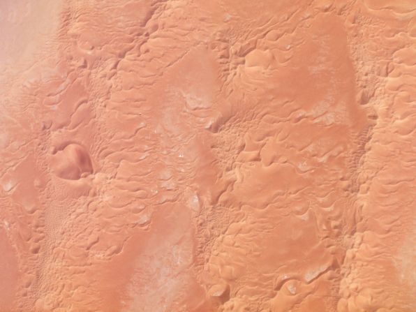
Star dunes sculpted by winds in western Algeria.
courtesy planet labs
The Rufiji river, in Tanzania.
courtesy planet labs
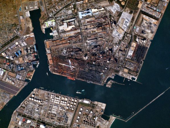
The Kashima industrial zone in the Ibaraki prefecture, Japan.
courtesy planet labs
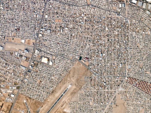
A view of Ciudad Juarez, Mexico.
courtesy planet labs
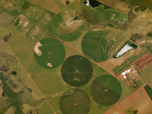
Central pivot irrigation in Brazil.
courtesy planet labs
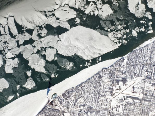
Ice on Lake Erie in Ohio, USA.
courtesy planet labs
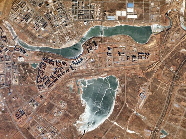
Ordos city in Inner Mongolia, China.
courtesy planet labs
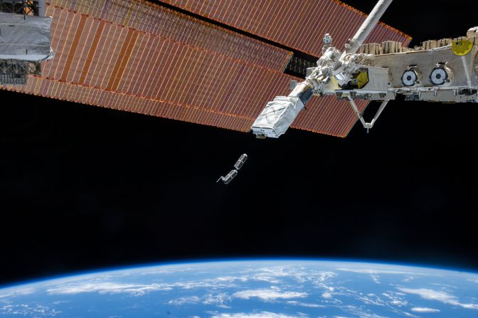
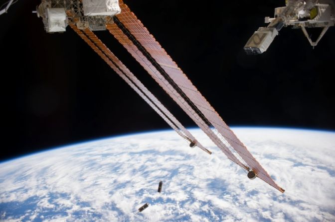
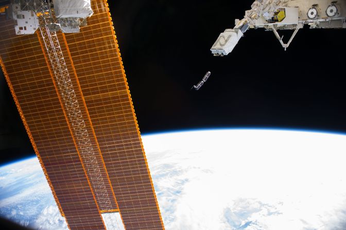
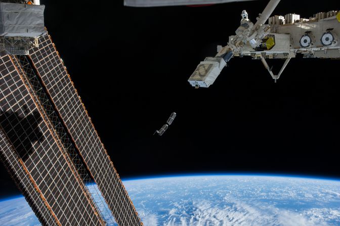
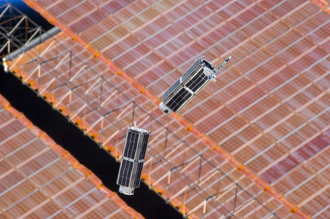
The satellites who took these photos were released in February 2014 from the International Space Station.
courtesy planet labs
The payload was carried into orbit aboard an Antares 120 rocket.
courtesy planet labs
The ground resolution of the satellites is 3 to 5 metres.
courtesy planet labs
Each satellite is solar powered, producing about 20W.
courtesy planet labs
Planet Labs have plans to bring their constellation up to around 120 Doves.
courtesy planet labs
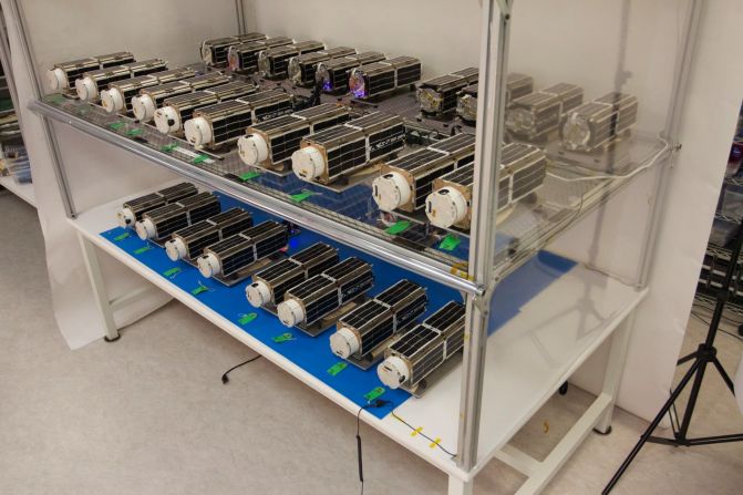
The Doves stored on the ground before launch.
courtesy planet labs
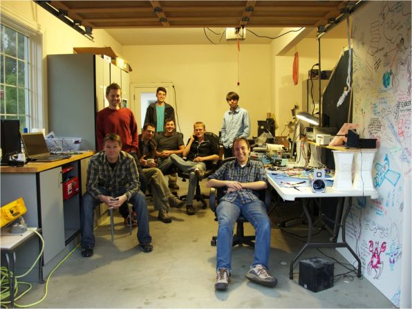
An image of the Planet Labs team in the Cupertino, CA, garage where they started out their business.