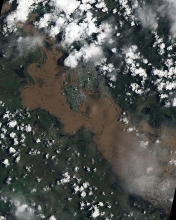
Water swelled over the banks of the Fitzroy RIver in Rockhampton, Queensland inundating the city with muddy brown water as floods engulfed the southeast of the state in January.
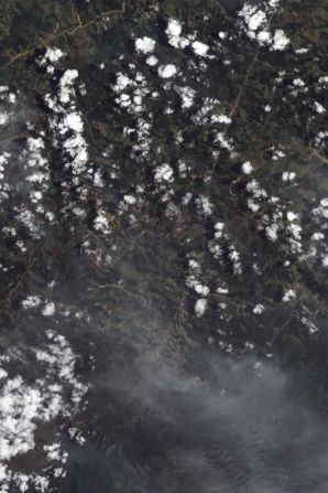
Landslides in Brazil —
The tiny streaks of brown in this NASA image are in many instances giant landslides which resulted from flash floods in mountainous terrain 60 kilometers north of Rio de Janeiro in January. They caused at least 900 deaths making it one of the worst natural disasters in Brazil's history, according to the World Meteorological Organization (WMO).
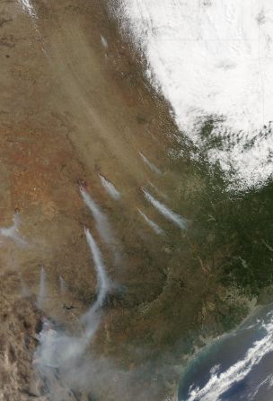
Lone Star State sizzles —
"We're actually seeing Texas burn from border to border..." Texas Forest Service spokesperson April Saginor said. More than a million acres were burned in just over two weeks during April, according to the Forest Service. Strong winds, warm temperatures, dry vegetation, and low humidity also contributed to hazardous fire conditions, according to NASA.
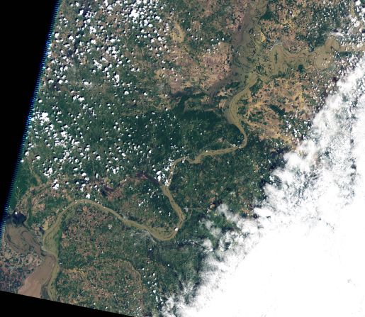
Mississippi River floods —
The flooded outline of the Mississippi River can be seen meandering into the left edge of this NASA image, with the Ohio River snaking north and east. Parts of the Mississippi experienced its worst floods since 1933 according to the WMO.
Tornado tears across Massachusetts —
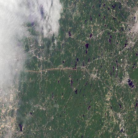
The thin horizontal strip of brown snaking across this NASA satellite image is the trail of destruction caused by a tornado on June 1 as it tore across southwest and south-central Massachusetts. It continued for 39 miles (63 kilometers), says NASA, and in some places measured half-a-mile in diameter. The WMO reports that it was one of the most active tornado seasons on record. 157 people lost their lives -- the deadliest in the U.S. since 1947 -- in Joplin, Missouri in May.
Drought, then flooding in East Africa —
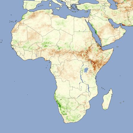
Twelve million people were facing starvation in the Horn of Africa in July as devastating droughts hit the region. NASA's image depicts plant activity, with darker brown representing sparser growth. The drought lasted until early October, says the WMO, when a deluge of rain fell providing relief but also damage to crops.
Hurricane Irene barrels in —
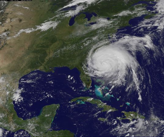
Hurricane Irene gathers speed and strength as it heads towards the East Coast of the U.S. at the end of August. Tropical Storm Lee followed shortly after in early September. Both were responsible for severe flooding in the northeast region of the U.S. says the WMO.
Summer sea ice second lowest on record —
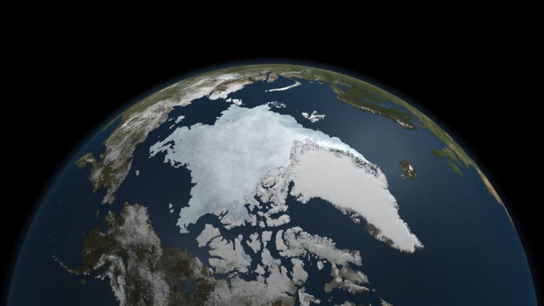
The last five years have included the five lowest extents of sea ice in the Arctic since records began in 1979, according to NASA, with much of that trend being caused by global warming.
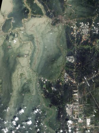
Floods swamp Thailand —
The historic city of Ayutthaya was founded in the 14th century on the confluence of three rivers -- the Chao Phraya, the Lopburi and the Pasak. In late October they combined to inundate the city and surrounding farmland. Above average rainfall during June to September's monsoon period was recorded through large parts of southeast Asia, according to the WMO.