What we're covering
• Storm’s impact growing: Snow and dangerous ice spans 1,300 miles of the US and is still pushing east. It will impact more than 2,000 miles from Texas to New England through Sunday.
• Thunder ice: Power outages are increasing as ice accumulates across the South. Thunder and lightning are possible in areas of heavy freezing rain and sleet as the storm intensifies.
• Travel nightmare: Over 14,800 flights have been canceled because of the storm, a staggering amount. Stretches of interstate have been shut down from dangerous road conditions in the storm’s footprint.
• Record cold: More than half of all Americans will experience subzero wind chills in the next week. The extreme cold will lock snow and ice in place and leave those without power shivering for days.
Here's what makes freezing rain, sleet and snow different
Freezing rain will fuel a dangerous, widespread ice threat this weekend.
As the name suggests, freezing rain is simply rain that freezes on contact with cold ground to create ice. This happens when the air at ground level is below freezing — 32 degrees — but the air higher up is warmer.
It’s different from snow, which needs cold air all the way through the atmosphere to make it to the ground and accumulate.
Sleet is the icy midpoint of the other two winter precipitation types. It happens when the precipitation falls through a warm layer in the atmosphere and melts to rain droplets before hitting a layer of cold air close to the ground. The droplets freeze into ice pellets before they hit the ground, unlike freezing rain that freezes when it hits the ground.
Enough sleet still creates slippery conditions, but doesn’t create a sheet of ice like freezing rain.

Here's where the snow is expected to pick up overnight
The Storm Prediction Center has highlighted an area (circled in pink below) where heavy snow bands are expected to ramp up overnight, a bit sooner than forecast guidance indicated.
Snowfall rates of over 1 inch per hour are likely in parts of southern Illinois, southern Indiana, southwestern Ohio and far northern Kentucky. Visibility could be lower than half a mile, making driving extremely hazardous.

Almost 1 in 4 flights handled daily by US aviation authority canceled

The Federal Aviation Administration, which regulates air traffic in the US, handles an average of 44,360 flights per day.
With almost 10,000 flights within, into or out of the US canceled on Sunday, according to FlightAware, that accounts for almost a quarter of the flights processed by the civil aviation body on a daily basis.
Power outages starting to tick up along the Gulf Coast
As ice and sleet work their way across the South, more homes and business are losing power.
Louisiana has over 57,000 customers in the dark and Texas has more than 41,000, according to Poweroutage.us at about 11:45p.m. ET. Mississippi numbers are on the rise as over 15,000 are without power.
Sleet to cut into snow totals for parts of the NYC Metro
Forecast snow accumulation was adjusted slightly downward for parts of the New York City metro area, particularly along the coast where the ocean will moderate temperatures. The slightly warmer air will allow more sleet to mix in with the snow earlier than expected, reducing the final totals.
According to the National Weather Service, “Long Island, the NYC Metro, and NE NJ are expected to see 8-12” total, but this may be in the form of 6-9” of snow and 1-2” of sleet.” Inland, 12 to 15 inches of fluffy snow, with an inch or less of sleet mixed in, are still expected.

Thundersleet lights up the radar over Austin, Texas
Residents in Austin heard some rumbles along with the beat of sleet Saturday night. Rising air inside the storm is responsible for these unusual cold-weather flashes.
The National Weather Service reported on X that it detected lightning flashes from the thundersleet in Austin.
College student in Michigan found dead after being reported missing for over a day
A college student last spotted without a coat on a street in Michigan was found dead after having gone missing for more than a day, according to local police.
Lucas Mattson, 19, was last seen walking alone at Hill Street in the city of Ann Arbor at 1am on Friday. His disappearance was later reported to the police.
Officers recovered his body at Cambridge Road around Saturday noon, wrote Ann Arbor’s Police Department in a social media post, also shared by University of Michigan.
“The nearly 20-hour search effort to locate him took place in extreme cold conditions and included officers from AAPD (Ann Arbor’s police department) and University of Michigan Division of Public Safety and Security, as well as the University of Michigan Police Department Drone Unit,” they said.
Mattson sustained “no obvious signs of trauma” with no foul play suspected at this time, though the Washtenaw County Medical Examiner’s Office will further determine the cause of his death, police said.
The temperature in Ann Arbor just past midnight ET on Sunday was 5°F, according to the National Weather Service.
Here's where the storm is now

The massive storm stretches from the southern Rockies through the Midwest, South and into parts of the mid-Atlantic, where it is knocking on the door of Washington, DC.
Snow (purple shades in the image above) is the most widespread form of precipitation right now, but the icy mix (pinks) is not far behind. Ice is the storm’s most impactful threat as it keeps roads slick and piles up on trees and power lines, weighing them down.
Sleet and freezing rain are expected to spread eastward and increase throughout the evening.
Modified garbage trucks to clear snow in New York amid bus and subway disruptions
Thousands of garbage trucks have been refitted with plows to clear the snow, with workers on standby to combat the blizzard in coming days, New York City Mayor Zohran Mamdani has said.
Efforts to convert the trucks were already under way since Friday while more than 2,000 sanitation workers will be put on call for every 12-hour shift to salt roads as soon as the snowflakes hit, according to Mamdani in a clip posted on X on Saturday.
“Once there’s more than two inches of snow on the ground, plows will roll out across more than 19,000 land miles of roadways and bike ways,” he said.
The Metropolitan Transportation Authority (MTA), which runs the transportation network in New York, has told commuters to “avoid unnecessary travel” on Sunday and Monday, warning that the winter storm may cause delays for buses and cancelations for subway and train services.
In the neighboring state of New Jersey, NJ TRANSIT said it will temporarily suspend all bus, light rail and access link services starting Sunday, including train services connecting New York.
New Jersey’s Transport Department also lowered the speed limit on interstate and state highways to 35mph starting Sunday, it said on Facebook.
Top videos

Meteorologist Chris Warren checks in with Meteorologist Derek Van Dam in Louisville to see how conditions were as the winter storm progressed.

Meteorologist Chris Warren takes a look at what is still to come as the winter storm continues east.

Harsh winters are nothing new in Boston, but this powerful winter storm could bring the city its heaviest snowfall since 2022.

Nearly 8 inches of snow has fallen across parts of central Arkansas, creating treacherous conditions on roads and causing some accidents, as seen here near Little Rock, Arkansas.

Rachel Heffington of Little Rock, Arkansas, captured this video of a person skiing and two others sledding down a hill outside her house early Saturday morning.
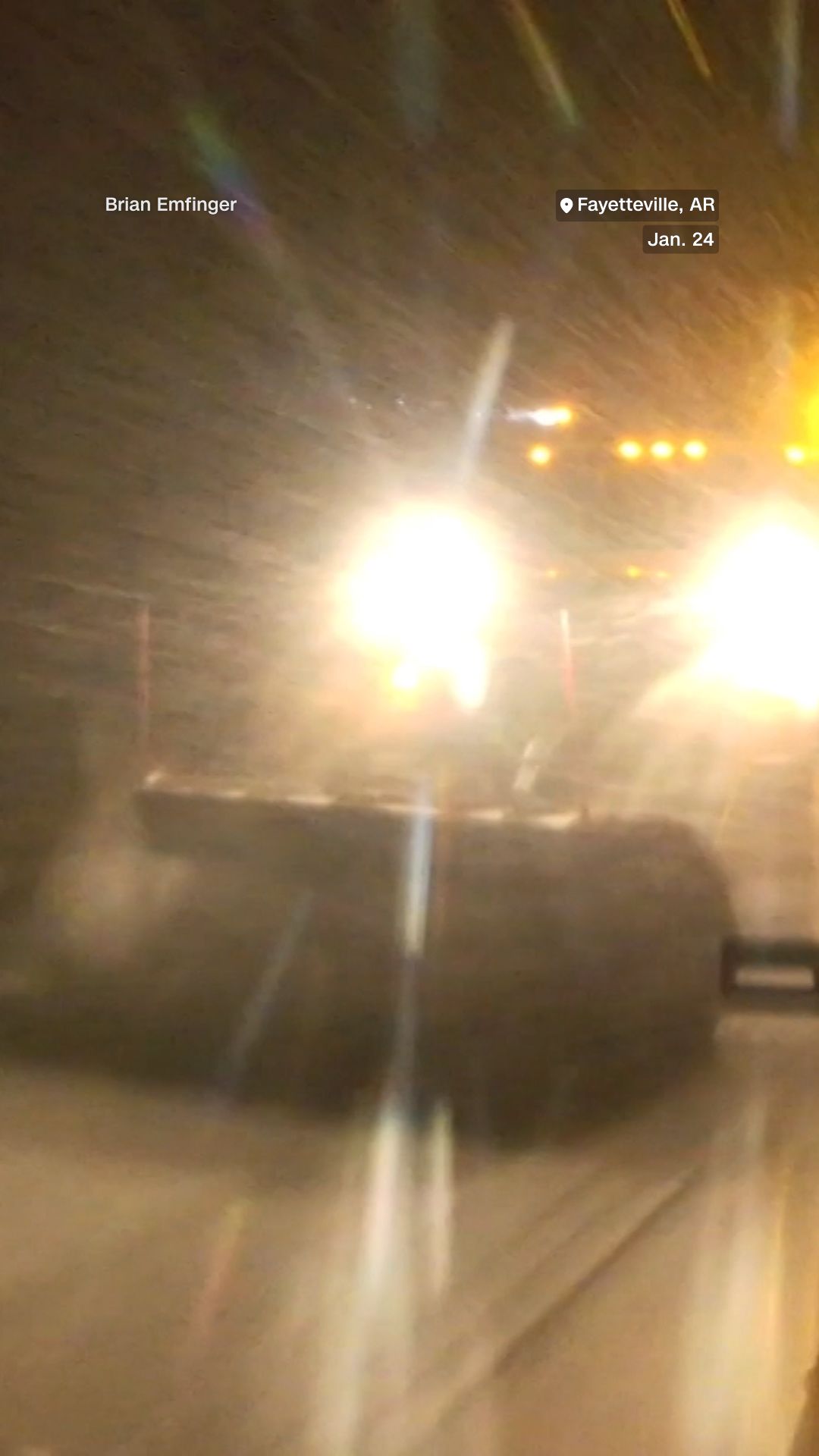
Storm chaser Brian Emfinger captured snowplow crews battling risky conditions in Fayetteville, Arkansas, as heavy snow and thick ice made travel hazardous across the state.
Sleet has changed to freezing rain in North Carolina. Here's why that's bad news
Sleet has transitioned to freezing rain faster than expected across North Carolina. Freezing rain builds ice much more efficiently than sleet, so this nudges the forecast toward a higher-impact ice scenario rather than the mix of snow and sleet many were hoping for Saturday night.

The latest forecast for the Mid-Atlantic & Northeast, according to the European model
Let’s take a moment to look ahead at what’s coming tomorrow in the Mid-Atlantic and Northeast, according to the European forecast model.
We’re doing this real quick and easy with maps from Pivotal Weather, a great site for weather tracking. These maps are showing snow (blue), ice and sleet (pink/salmon), and rain (green).
This first snapshot below is at 7 a.m. ET Sunday morning, which gives an indication of how fast the storm is about to slide into the Mid-Atlantic. By the time DC wakes up tomorrow, the snow is going to be cranking, and the first flakes will be flying as far north as New York City. More concerningly, we see the icy mix stretch from central Virginia to northern Georgia.

Moving ahead to early afternoon, by 1 p.m. ET the Euro is saying the ice will be a big problem in the DC-Baltimore region. I’m extremely concerned about power outages on the southern end of the Beltway and points south of that.
To the north, the snow should be accumulating quickly in the I-95 corridor.

In the 7 p.m. Sunday snapshot below, DC is still getting clobbered with ice, and it’s spreading up into New Jersey and NYC, too. This is what we’ll be watching tomorrow in this region — snowfall totals will be determined by how far north this band of freezing rain and sleet gets. The more ice that mixes in, the lower your snow accumulation will be.

I debated whether to show this map below because ice accumulation is tough to forecast. There are a lot of factors that go into it. But if we take this forecast as an indication of which locations are going to get the most ice, rather than using it to forecast precise amounts, we see parts of North Carolina, central Virginia and southern Maryland could end up being the ice epicenter in the Mid-Atlantic.

"The time has come and gone for that and you should not be on the roads," say Greensboro police
The Greensboro Police Department in North Carolina is not mincing words in their effort to keep everyone safe.
It said in a post on X that it received reports that people were “trying to head out of town… to ride out the storm with family and/or friends.”
See the top snow, sleet and freezing rain reports by state
The Weather Prediction Center is rounding up the highest snow, sleet and freezing rain totals for affected states every 6 hours. Click through to see where your area stands in its latest update.
First signs of icy glaze coating surfaces in the Raleigh-Durham area
Freezing rain is beginning to glaze surfaces across the Triangle in central North Carolina, according to early reports from Raleigh and Durham.
Overnight Saturday into Sunday morning, up to a half inch of sleet and 0.1 of an inch of freezing rain are expected in the area.
Power restoration crews stop work in New Mexico due to dangerous conditions
In New Mexico, on the far west side of this massive winter storm, the snow and ice have brought down so many trees and power lines that crews responsible for restoring electricity have had to withdraw for the night.
“Trees are breaking off due to the heavy snow load and still falling on the line creating a very dangerous situation for crews,” the Otero County Electric Cooperative said on Facebook.
Otero County is on the southern border of New Mexico, northeast of El Paso, Texas. Cloudcroft, where the cooperative is headquartered, was expected to get up to 10 inches of snow.
“Our apologies to our Timberon members that we are unable to get your power restored tonight, but hope you understand that the safety of our employees has to be top priority,” the cooperative said.
Missouri Highway Patrol reports hundreds of storm-related calls

Missouri State Highway Patrol troopers responded to 412 calls for service as of Saturday afternoon, with 54 stranded motorists, 63 minor crashes and 11 crashes with injuries, the agency said in a social media post. One deadly crash not related to the weather was also reported.
The totals reflect the storm’s growing impact on travel in Missouri, where slick roads and low visibility have made driving hazardous. The patrol urged motorists to avoid travel if possible and to use caution if they must be on the road.
Power outages, storm-related injuries reported in Oklahoma
About 1,300 power outages have been reported in Oklahoma, largely caused by tree limbs falling on power lines, according to the state Department of Emergency Management.
The agency said no rolling outages are planned, meaning utilities are not intentionally cutting power to reduce strain on the electrical grid.
State health officials reported 11 storm-related injuries Saturday, including falls and transportation incidents. National Guard and Highway Patrol teams have also rescued 13 stranded motorists since the storm began Friday.
The Oklahoma Department of Public Safety has reported 136 motorist assists, 131 crashes without injuries and 23 crashes with injuries as of Saturday afternoon. Rescue teams are operating in several areas including Oklahoma City, Tulsa and Ardmore, and motorists who need help are being taken to warming centers staffed by the American Red Cross.
The Oklahoma State Emergency Operations Center remains activated as it coordinates response efforts with state, federal and tribal partners, the Department of Emergency Management said.
Second round of icy weather is heading here next
The National Weather Service Storm Prediction Center has highlighted this area that should be on the lookout for another round of freezing rain and sleet. This messy mix will spread from northern Louisiana into eastern Arkansas and northwest Mississippi.
Freezing rain rates upwards of 0.05 inch per hour are likely in spots.
You might hear this surprising phenomenon with the heaviest sleet and freezing rain
If you hear thunder tonight, you’re not imagining it. This storm really packs a punch.
Ice storms are usually quiet, with the exception of some tree limbs cracking or falling. But this storm is unique in that it’s not entirely “stable.” There’s warmer air sliding in above a shallow layer of cold air near the ground, which is why rain freezes on contact in the first place.
If that warm layer is energetic enough, you can get bursts of rising air, or convection. This can mean thunder and lightning, even when surface temperatures are below freezing. Those convective bursts can also briefly intensify precipitation, making icing worse in a short amount of time.