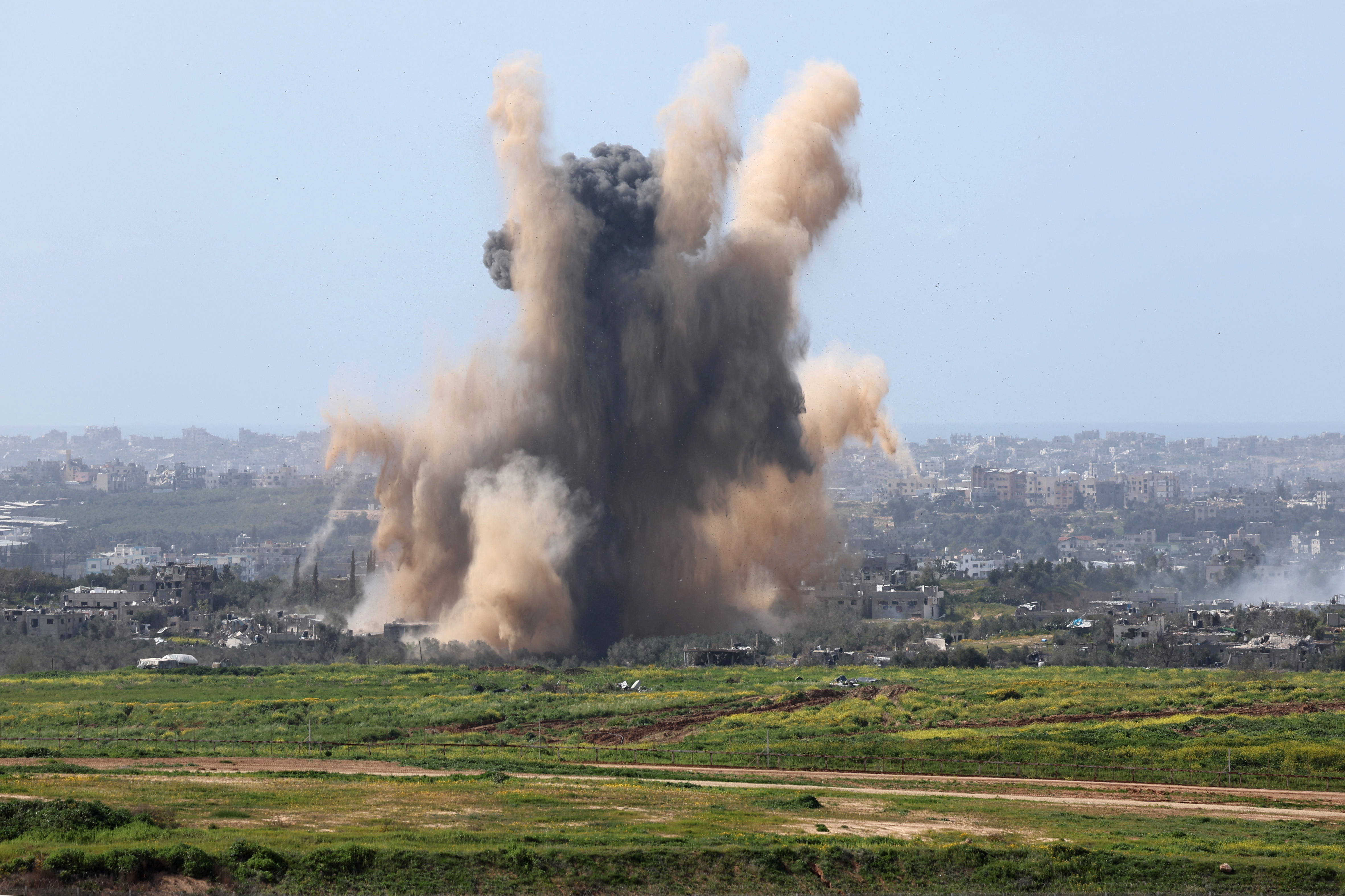


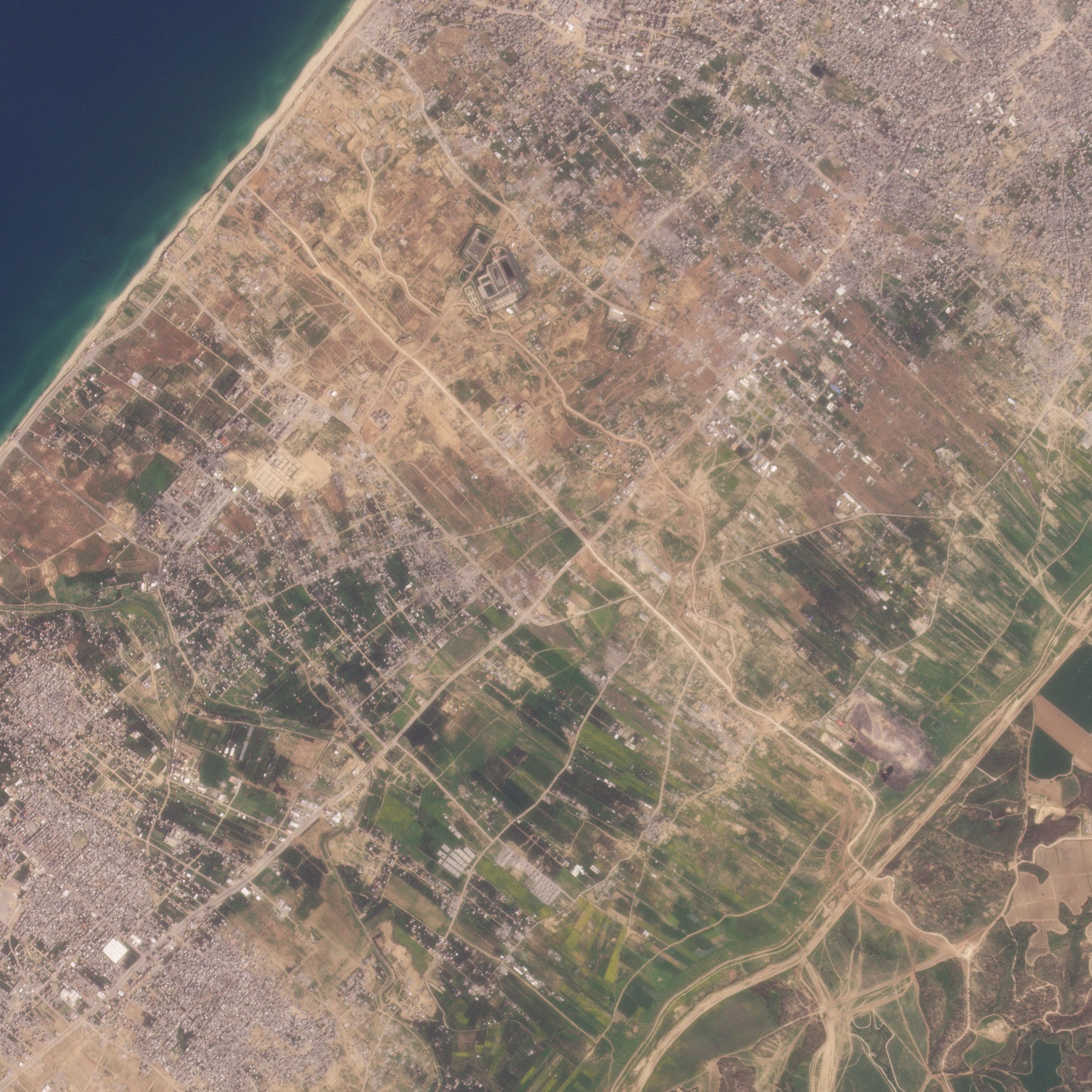
A road being built by the Israeli military splitting Gaza in two has reached the Mediterranean coast, a CNN analysis of satellite imagery shows. It’s part of a security plan to control the territory for months and possibly years to come, Israeli officials have said.
A satellite image from March 6 reveals that the east-west road, which has been under construction for weeks, now stretches from the Gaza-Israeli border area across the entire roughly 6.5-kilometer-wide (about 4-mile-wide) strip, dividing northern Gaza, including Gaza City, from the south of the enclave. About 2 kilometers (1.2 miles) includes an existing road, while the rest is new, according to CNN’s analysis.
The Israel Defense Forces (IDF) told CNN they were using the route to “establish (an) operational foothold in the area” and allow “the passage of forces as well as logistical equipment.”
When asked about the route’s completion, the IDF said the road existed before the war and was being “renovated,” due to armored vehicles “damaging it.” It added that there was: “No beginning and ending.”
Read the full story here.