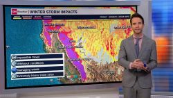
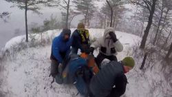
A dangerous winter storm has arrived in California and will unload feet of snow, powerful winds and rare blizzard conditions in the mountains through the weekend.
The storm will bury California under its biggest snowfall of the year posing a significant danger to travelers – but provide a huge boost for the state’s water supply and tourism.
Winds gusted over 140 mph in the highest peaks of the Sierra Nevada alongside heavy snow Thursday. Gusts there topped 150 mph on Friday as blizzard conditions kicked into overdrive. Nearly 2 feet of snow has already fallen with extreme snowfall to come.
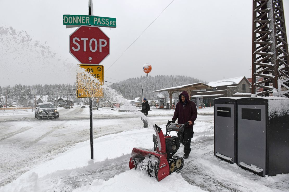
Snowfall rates are expected to reach 3 to 5 inches an hour from Friday through Saturday – especially along the Sierra Nevada.
The prolonged extreme snowfall means 6 to 12 feet of snow could bury parts of the mountains in just a matter of a few days.
The most extreme conditions are unfolding at the highest elevations, with wind gusts in excess of 100 mph on the highest peaks of the Sierra in addition to feet of snow. Winds are blowing so hard that it may be difficult to measure snow accurately with the potential for huge snow drifts.
Winds started to roar Thursday with widespread gusts of 60 to 80 mph reported for elevations above 3,000 feet. Twenty inches of snow fell from Thursday to Friday morning at Donner Peak while a foot or more buried other parts of the Sierra.
Heavy snow and roaring winds are expected to combine to produce rare and long-lasting blizzard conditions for much of the Sierra and parts of the northern ranges. Visibility plummeted to near-zero, meaning it’s impossible to see farther than a few feet – or at all – early Friday.
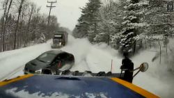
Strong winds whipped up snow along elevated portions of I-80 early Friday, creating challenging visibility as tractor-trailers struggled to navigate snow-covered roads.
Given these conditions, there is a “high chance of substantial, long-lasting disruptions to daily life in the higher elevations of the Sierra Nevada Friday through Saturday,” the Weather Prediction Center warned.
Yosemite National Park, which is under a blizzard warning through the weekend, is closed Friday through at least Sunday afternoon, the National Park Service said.
Unlike other storms this winter, snow is falling well below pass levels for all impacted ranges. Close to a foot of snow is expected through the weekend for areas as low as 5,000 feet. Several inches are also possible for even lower elevations, including Reno, Nevada. Wind gusts of up to 60 mph will continue to blow through the lower elevations alongside snow.
The intense conditions at lower elevations increase the risk of danger on the road.
Travel will remain “extremely dangerous to impossible” across the Sierra through the weekend, the weather service warned. Parts of major roadways like I-80 could be shut down for long stretches.
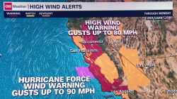
Strong winds have expanded well beyond where the snow is falling. Gusts in excess of 55 mph will persist for much of the West – including the Rockies – through Sunday.
Strong, prolonged winds could bring down trees and power lines, resulting in property damage and power outages.
The heaviest snow and strongest winds from this blockbuster storm are forecast to slowly wind down in California on Sunday. But a new storm could arrive by Monday, right on the current storm’s heels.
It is expected to be less intense overall, but bring another quick burst of snowy weather to Northern California and the Pacific Northwest into Wednesday.
Storm will provide much-needed boost to critical snowpack
California’s Sierra Nevada snowpack got off to a slow start this winter.
“We’ve definitely been playing a catch up game (with the snowpack in the Sierra),” Edan Lindaman, a senior meteorologist with the National Weather Service in Reno, told CNN.
But recent storms have helped make a difference. Parts of the Sierra are closing in on erasing the snowpack deficit.
The snowpack was at 80% of its March average, a survey conducted by California’s Department of Water Resources found Thursday – which represents what was on the ground before the current storm.
Given the colossal amount of snow forecast to entomb the Sierra through the weekend, there’s a “good chance” to close the snowpack gap or exceed what’s typical, Lindaman said.
The storm currently hitting the Sierra, will be factored into the April snow survey. The April survey is viewed as the most consequential since officials use the measurement to forecast the state’s water resources for the rest of the year. The survey showed snowpack was 70% of the April average.
Millions of people in the West depend on a melting snowpack in the warmer months for hydropower, irrigation and drinking water, according to the US Environmental Protection Agency.
CNN’s Stephanie Elam contributed to this report.

