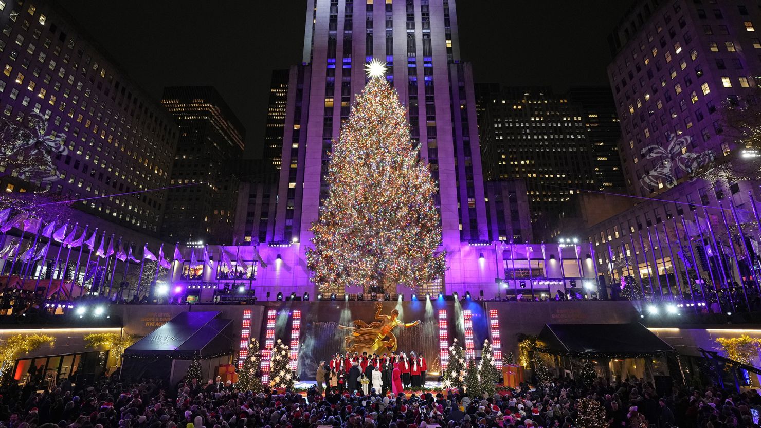
As Christmas nears, daydreams grow of presents under decked-out trees, a mug full of hot cocoa and an idyllic white Christmas with snow-lined streets. But snowy dreams are being dashed across the US by this year’s temperature forecast.
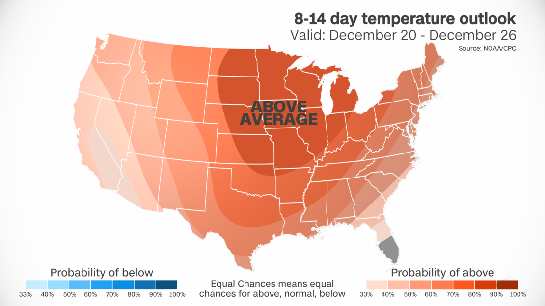
The new temperature outlook predicts above-average temperatures for almost the entire US – including Hawaii and a large portion of Alaska – from December 20 to 26, according to the Climate Prediction Center.
At least 1 inch of snow needs to be on the ground where you live on December 25 in order for you to say it was a white Christmas. Above-average temperatures would threaten to stifle the freezing conditions necessary for existing snow to stick to the ground and increase the chances of any new precipitation to fall as rain instead of snow.
For most of the US, the above-average temperatures are tied to warm, moist Pacific air forecast to be pumped east across the US via the jet stream – a river of air high in the atmosphere that transports storms.
The position of the jet stream and the influx of warm air are a clear signal of El Niño, a natural ocean and weather pattern in the tropical Pacific that influences weather around the globe. In the US, El Niño manifests as warmer conditions across the northern US and wetter conditions across the West and South.
While El Niño is a natural climate variation, climate change is accelerating warming on a much larger scale and threatening white Christmases to come. Following months of record-breaking heat, 2023 will be the hottest on record globally, a recent analysis confirmed.
Conditions that could be warmer than average are only one factor throwing a wrench in snow hopes. Storms with plenty of moisture are also necessary to get more accumulating snow.
Plenty of moisture is forecast across much of the West and a large portion of the Plains by Christmas, but it’s unclear if storms will be able to take advantage of it. Even with increased precipitation chances, the above average temperatures signal a higher likelihood for rain rather than snow.
Mother Nature isn’t a total Grinch, so snow isn’t impossible this Christmas. But this temperature forecast makes the chances of seeing a white Christmas much lower when compared to average.
Historical chances of a white Christmas
Even if average temperatures were forecast, the number of places in the US likely to have a white Christmas is historically limited.
Mountain ranges in the West and Northeast typically are most likely to meet the white Christmas definition but also have some of the smallest populations able to experience the wonder.
More populous cities in the northern Plains and Upper Midwest on average are more likely to experience a white Christmas.
Minneapolis typically has about a 75% chance of a white Christmas, but the chances drop dramatically a few hours to the south. The greater Chicago area has about a 30 to 40% chance of a white Christmas on average.
In the East, Philadelphia and New York City have a 10% to 15% chance of a white Christmas. Both cities haven’t had an inch of snow fall in a single day in nearly two years – record long snow droughts likely to continue through Christmas.
Exact temperatures and precipitation amounts will come into focus across the US as Christmas gets closer, providing a better picture of this year’s snow chances. So, hold out hope for a white Christmas in the meantime, even if those hopes look likely to melt away.

