


The American road trip is symbolic of adventure and discovery. Sometimes driving without direction is part of the fun, but we bet even Jack Kerouac occasionally looked at a map.
That’s where Rand McNally comes in. The veteran map publisher has been keeping Americans on track to their destinations through 95 editions of its Road Atlas of the United States.
To celebrate nearly a century of guiding drivers along the highways, interstates and roads of the USA, it’s taking a look back at the cover art that’s defined its map books over the years.
“Each cover since reflects the freedom that the atlas represents and the inspiration that it provides as people take to the roads in search of adventure,” Rand McNally representative Alexis Sadoti tells CNN Travel.
Freedom and fun
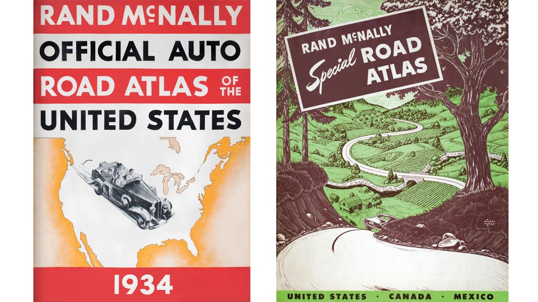
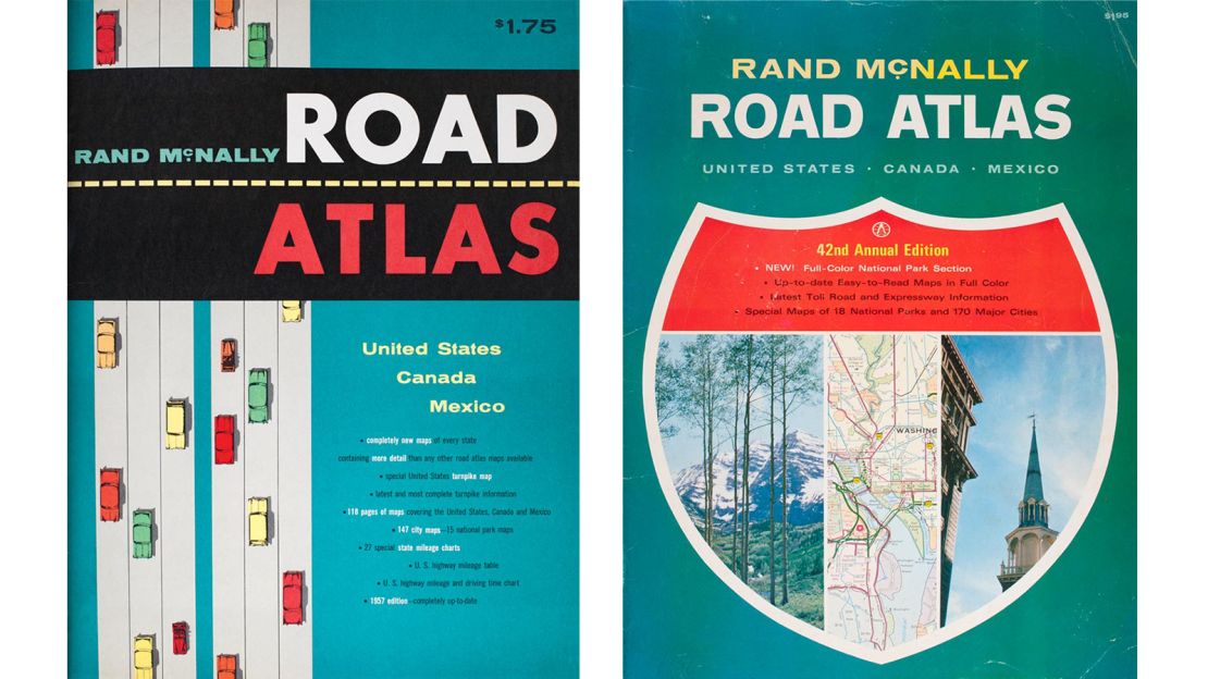
Early editions of the atlas are vintage delights – the detailed maps are wrapped in eye-catching covers that celebrate the liberty afforded by road travel.
“The cover art during these initial years depicted a time of leisure and touring as more people were taking road trips for fun,” says Sadoti.
The focus was on bright colors, glamorous sports cars and roads meandering through picturesque scenery.
The Rand McNally atlas was the first of its kind and in the early years, the team struggled with how best to label roads with long names. Their eventual decision to number the roads marked the origin of the American highway numbering system.
By the 1950s, more change was afoot, and this is reflected in the evolving cover designs.
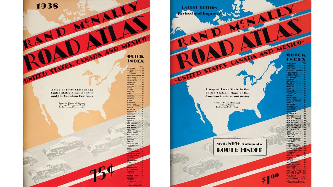
“President Eisenhower enacted the Federal Highway Act of 1956, which provided the money to build a 41,000-mile network of interstate highways,” explains Sadoti.
“The modern roads complemented the 1950s design styles of mid-century modern – from the cars that people drove to the cover art of the Rand McNally Road Atlas, which featured simple lines, limited colors, and artistic typefaces.”
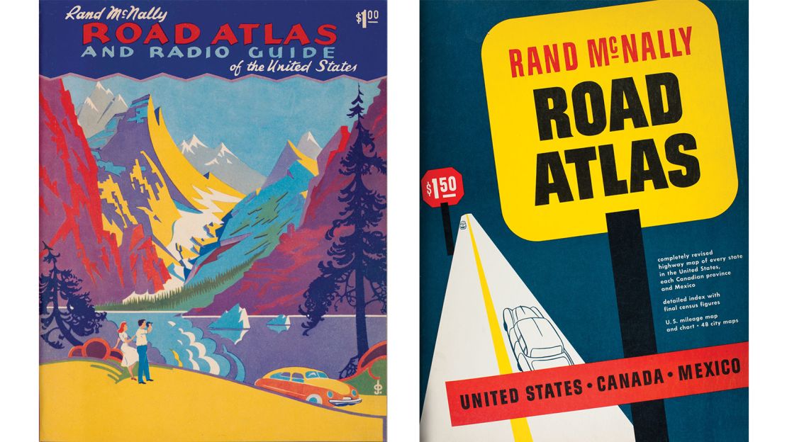
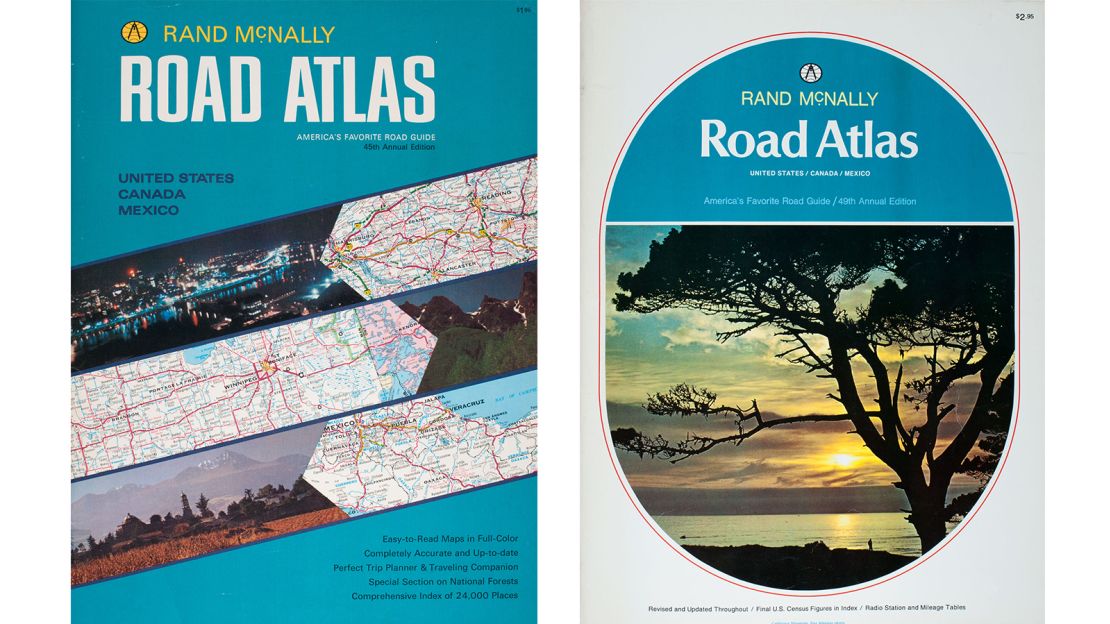
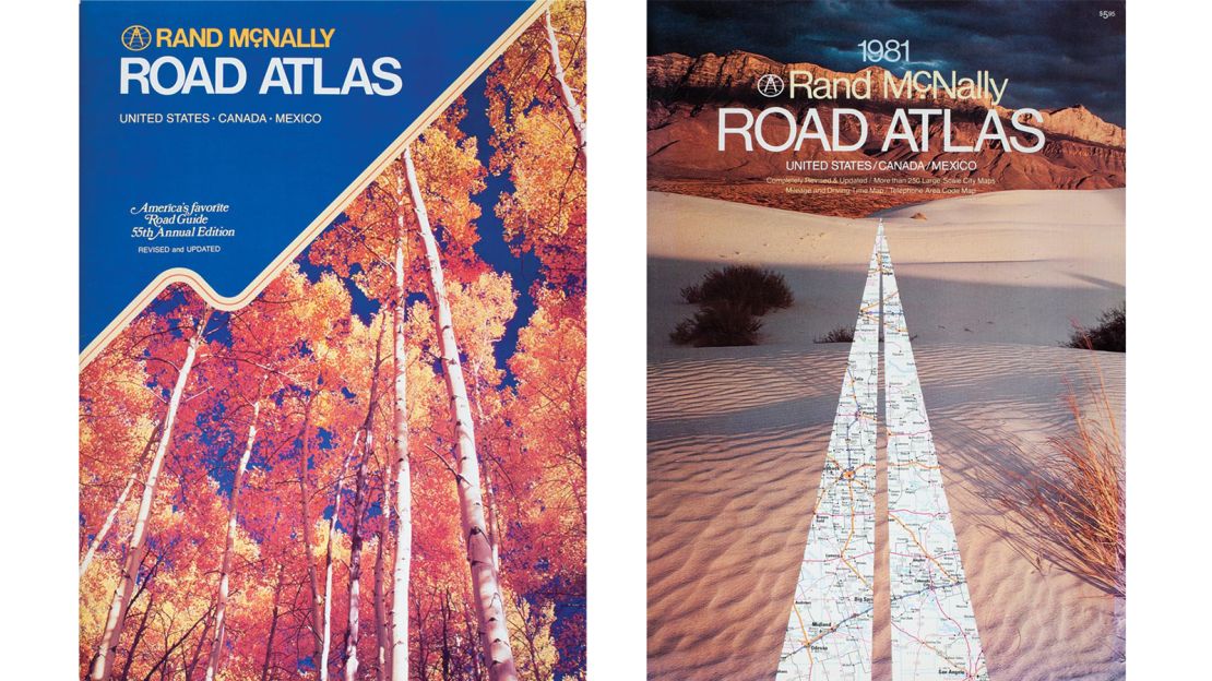
This gave way to streamlined, sleeker appearances of the 1960s and 70s.
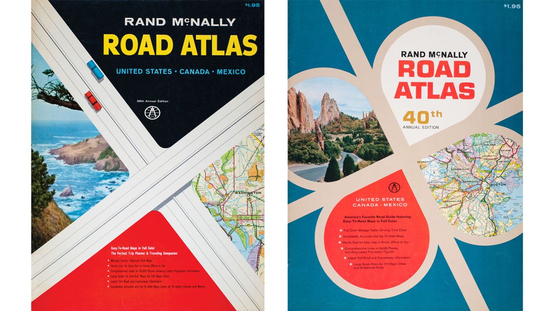
In the latter half of the 20th century there was a move towards photo-led designs.
“By the time the 1980s rolled around, the family road trip was a part of growing up,” says Sadoti. “Crisp photos of America’s beauty dominated the covers, letting the image sell the adventures as more people piled into their minivans and hit the road.”
The current edition of the Rand McNally atlas has a cover grounded in simplicity and style.
“Today, technology drives the auto industry, but amidst all of this, the old school road trip still thrives,” says Sadoti. “The Road Atlas covers of today features high resolution photos of landscapes and national parks to provide plenty of visual inspiration as you plan your next adventure.”
Changing trends
Surveying 95 years of cross-country travel, Rand McNally noted some interesting trends.
“Each new edition features thousands of changes that could reflect anything from road changes to a name change of a town or geographical feature update,” explains Sadoti.
“Every year Rand McNally’s team of cartographic experts considers new areas that may benefit from additional mapping – including expanding metropolitan areas and detailing major road changes.”
Perhaps the biggest change in recent years is our reliance on mobile devices and satellite navigation.
Is there still a need for road atlases in the era of GPS?
“What we hear from users of all ages is that the Road Atlas is still the best way to get a big-picture perspective of the road that smaller screens on phones and GPS devices simply can’t provide,” says Sadoti.
“Our customer research shows that the Road Atlas is used for trip planning and for on-the-road peace of mind as a backup in the car or truck – no batteries or signal required.”
As well as the 2019 edition of the atlas, this year also sees the publication of “American Journey: A Treasury of Rand McNally Road Atlas Covers: 1924-2019.” This June release will chart the changing face of road atlas cover art.
Sadoti says it’s too hard to pick out a favorite cover, but acknowledges the enduring appeal of the early designs.

“Nostalgia will never go out of style, and the vintage looks of the atlas covers brings people back to simpler, pre-digital times – whether you lived through the era or not.”
Enduring spirit
The covers may be constantly changing, but perhaps the appeal of the American road trip is how little it’s really changed since the advent of the motorcar.
“Roads, cars, and technology have all changed over the years, but the spirit of the American road trip has not,” says Sadoti.
“The beauty of the road trip is the combination of nostalgia and discovery where you can reminisce about your travels, and dream about your next adventure.”

