Editor’s Note: This page has been retired and is no longer being updated.
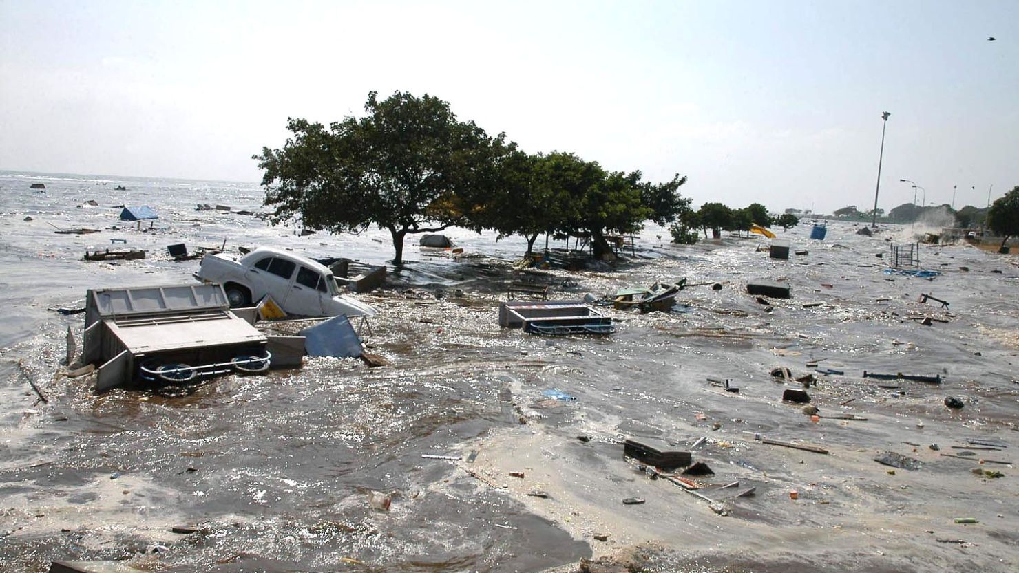
Here is some background information about the 2004 Indian Ocean tsunami. On December 26, 2004, an earthquake with an estimated magnitude of 9.1 struck the coast of Sumatra, Indonesia.
National Centers for Environmental Information Statistics:
227,898 people were killed or listed as missing and presumed dead.
Material losses in the Indian Ocean region were $10 billion.
Facts
Tsunamis are formed by a displacement of water - a landslide, volcanic eruption, or, as in this case, slippage of the boundary between two of the earth’s tectonic plates - slabs of rock 50 to 650 feet (15 to 200 meters) thick that carry the Earth’s continents and seas on an underground ocean of much hotter, semi-solid material.
The December 26, 2004 Indian Ocean tsunami was caused by slippage of about 600 miles (1,000 kilometers) of the boundary between the India and Burma plates off the west coast of northern Sumatra. The convergence of other plates strains the area, and at the quake’s epicenter, the India plate is moving to the northeast at 2 inches (5 centimeters) per year relative to the Burma plate. The aftershocks were distributed along the plate boundary from the epicenter to near Andaman Island.
The 9.1 magnitude earthquake was the strongest since the March 28, 1964 quake in Prince William Sound in Alaska. It was the third-strongest since 1900.
The two stronger earthquakes, May 22, 1960 in Chile (9.5) and March 28, 1964 in Alaska (9.2), also produced tsunamis.

