Severe thunderstorms are possible on the warmer, southern side of the storm

Powerful winter storm hits eastern half of the US

By Mary Gilbert, Elizabeth Wolfe, Eric Zerkel, Adrienne Vogt, Zoe Sottile and Tori B. Powell, CNN

Updated 1820 GMT (0220 HKT) January 13, 2024
2 Posts
Sort byDropdown arrow
2:04 a.m. ET, January 12, 2024

Severe thunderstorms are possible on the warmer, southern side of the storm

From CNN Meteorologist Mary Gilbert

While the northern side of the storm will deliver snowy and windy conditions, severe thunderstorms are possible Friday on the southern side -- including for a significant portion of the South and portions of the mid-Atlantic.

Early Friday, before sunrise: Parts of Arkansas, eastern Texas and northwestern Louisiana, including Shreveport, have an enhanced risk of severe storms, or a Level 3 of 5, according to the Storm Prediction Center.

A slight risk for severe storms, or Level 2 of 5, exists early Friday for a wider area, from eastern Texas to western Mississippi. The main threats there are tornadoes, strong gusts and large hail.

Friday, during the day: An enhanced risk of severe storms, or a Level 3 of 5, exists for a large portion of northern Mississippi and part of western Alabama, according to the Storm Prediction Center. A slight risk for severe storms, of Level 2 of 5, exists for a wider portion of the Southeast from the rest of Mississippi to much of the Carolinas, including the areas of Birmingham, Alabama; Memphis, Tennessee; and Charlotte and Raleigh, North Carolina.

1:01 a.m. ET, January 12, 2024

Blizzard conditions are likely on the northern side of the storm. Here's what to expect

From CNN Meteorologist Mary Gilbert

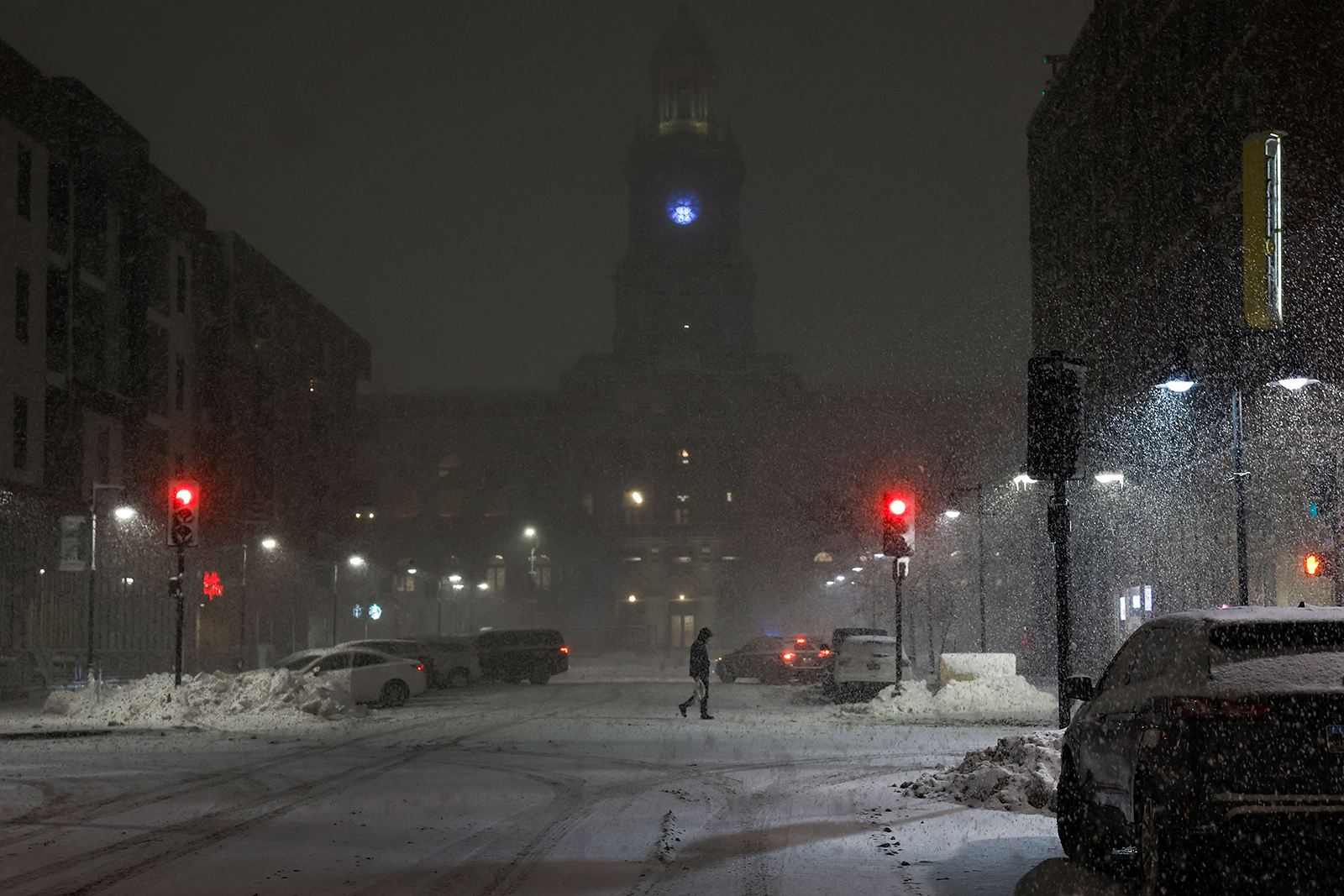
A pedestrian walks in the streets of downtown Des Moines, Iowa, during a snow squall on Wednesday.
A pedestrian walks in the streets of downtown Des Moines, Iowa, during a snow squall on Wednesday. Anna Moneymaker/Getty Images

Snow will once again bury portions of the Midwest as a powerful storm tracks through the region Friday and Saturday.

The combination of heavy snow and strong winds could make travel dangerous and even impossible in some areas, especially late Friday through Friday night. 

Whiteout conditions are possible from Iowa to Michigan, and people may even find themselves stuck in a blizzard.  

Snowstorms are not considered blizzards until they meet certain criteria.  

Blizzards occur when snow and sustained winds of 35 mph or greater combine for at least three hours and reduce visibility to a quarter-mile or less, according to the National Weather Service. More simply: strong winds blow so much snow around that it’s impossible to see a distance farther than a few football fields for a long period of time. 

Visibility can plummet to near-zero, meaning it’s impossible to see farther than a few feet, in the most intense blizzards. 

But remember: A storm doesn't need to meet the technical definition of a blizzard in order to cause life-threatening conditions.  

Storms with similar wind speeds and snow amounts that happen on short timescales are also very dangerous. Whiteout conditions for any length of time may lead to serious accidents and deadly crashes