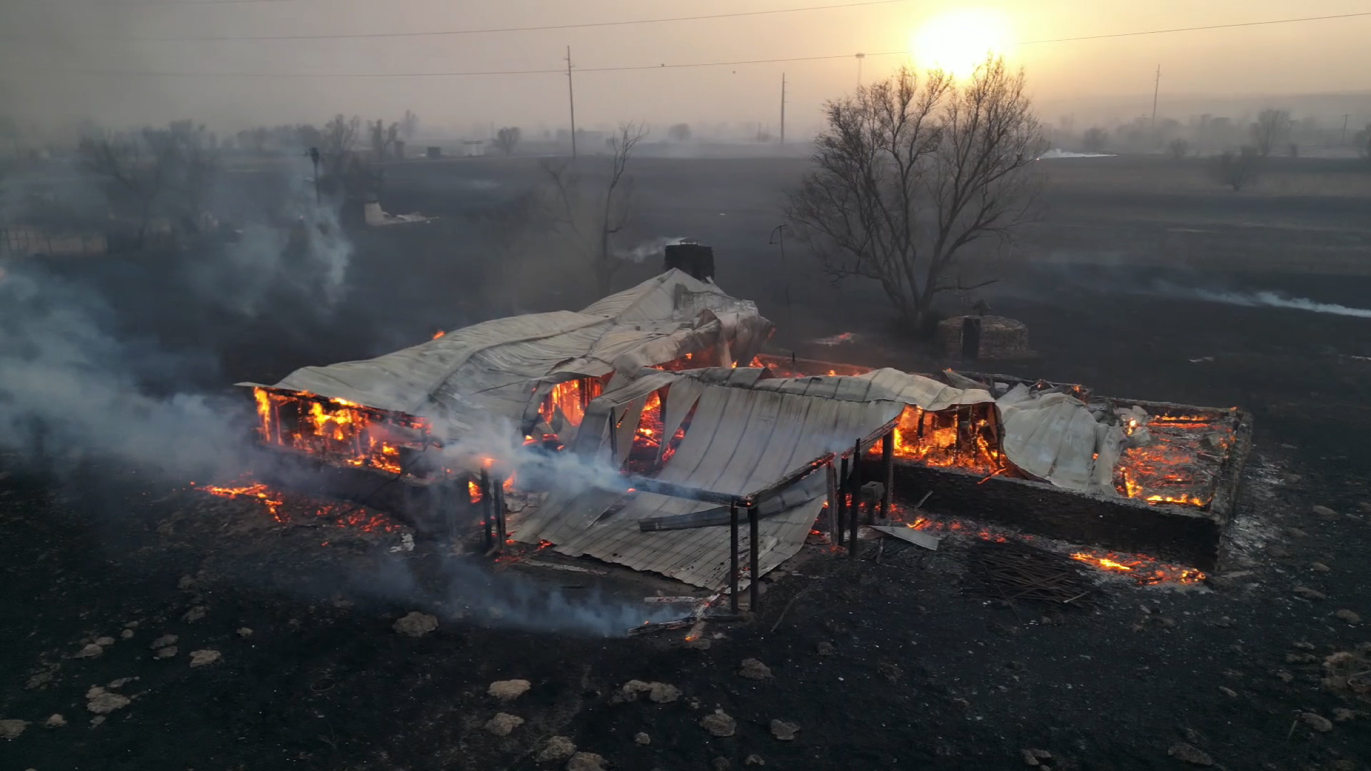
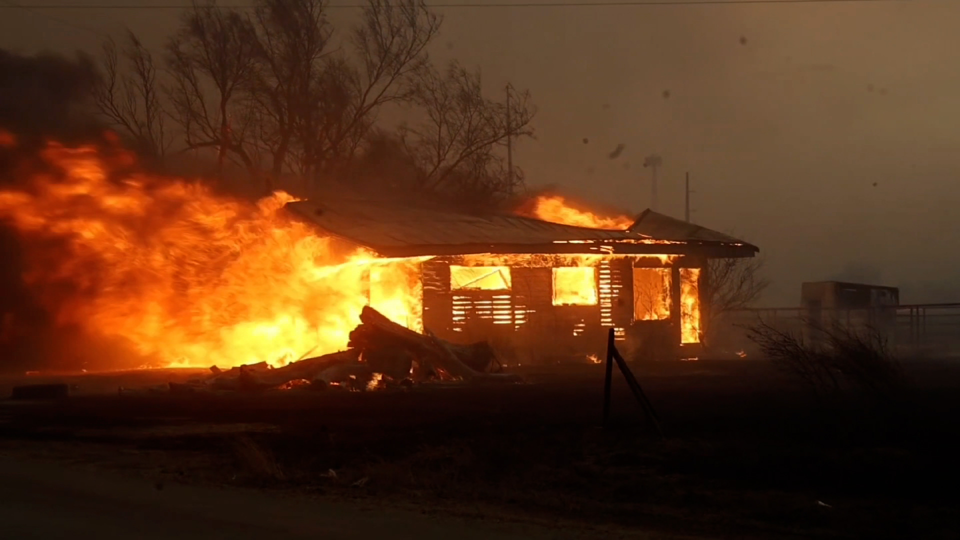
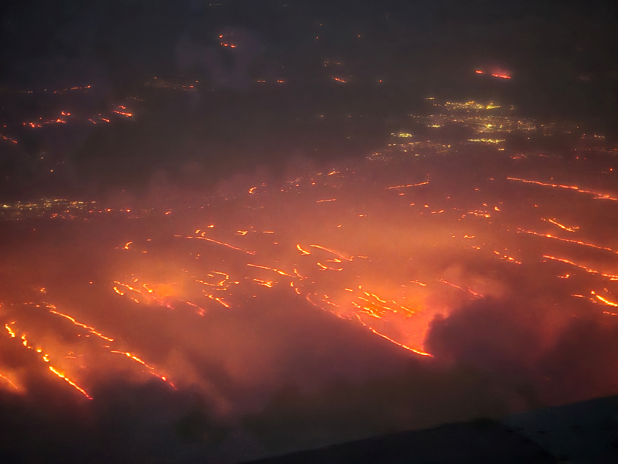
The extreme conditions driving the explosive growth of the Texas fires have calmed after a cold front moved through Tuesday evening, but they won't last.
Temperatures were in the 70s with 40 to 45 mph sustained winds and gusts up to 65 mph at the time of the most extreme fire growth Tuesday.
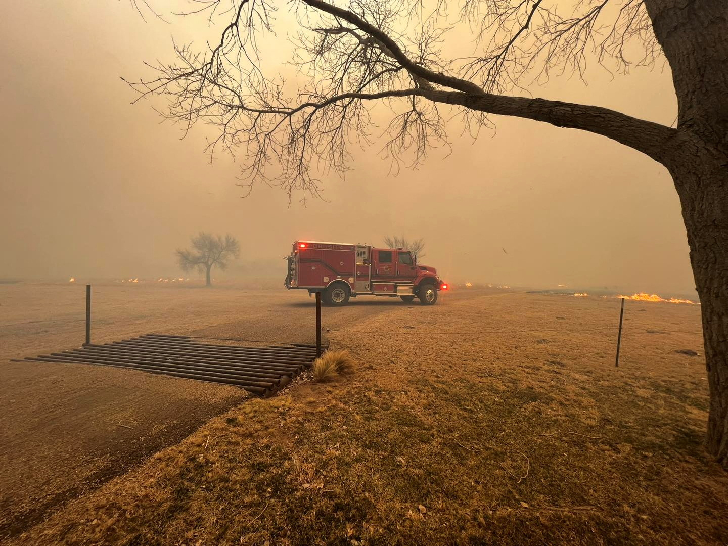
Here's how the weather will play out in the Texas Panhandle fire zone in the coming days:
Wednesday: High temperatures will be in the 50s with light winds. The winds will begin to pick up again this evening, creating new challenges.
Thursday: A very light rain and snow mix is possible. Any snow accumulation would remain below 0.5 inches. The high temperature will remain in the 50s, but winds will be stronger, 15 to 20 mph with wind gusts up to 30 mph.
Friday through the weekend: Dangerous fire weather conditions return as temperatures rise into the upper 70s, drier air arrives and winds increase to 20 to 30 mph, with even stronger gusts.